Primary Schools
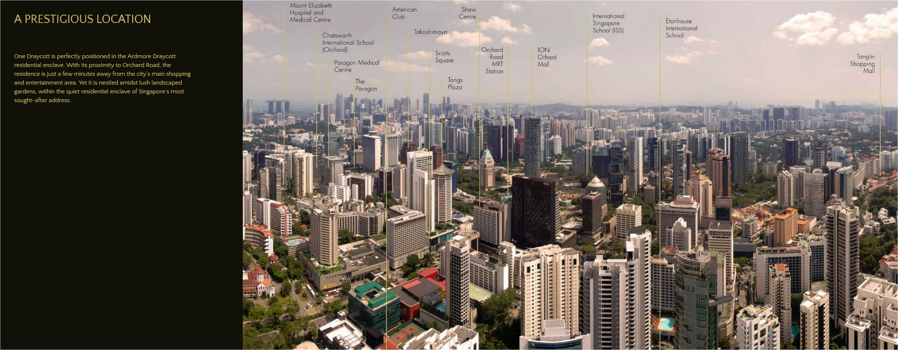
- Anglo-Chinese School (Primary) (1.12 km)
- Anglo-Chinese School (Junior) (1.22 km)
- St. Joseph's Institution Junior (1.82 km)
- River Valley Primary School (1.91 km)
- Alexandra Primary School (2.23 km)
Secondary Schools
- ACS (Barker Road) (1.2 km)
- Singapore Chinese Girls' School (1.26 km)
- St. Joseph's Institution (1.44 km)
- JE Educational College (2.27 km)
- Crescent Girls' School (2.36 km)
MRT Stations
- Orchard MRT station (0.7 km)
- Orchard (TE14) (0.73 km)
- Newton MRT station (0.88 km)
- Orchard Boulevard (TE13) (1.14 km)
- Stevens (TE11) (1.2 km)
Nearest Hospitals & Clinics
- Atwood Oceanics Services (0.37 km)
- Raffles Japanese Clinic (0.39 km)
- Raffles Specialists (0.4 km)
- Scotts Medical Center (0.43 km)
- Ensoul Medical Clinic (0.45 km)
Parks & Recreation
- Singapore Botanic Gardens (1.7 km)
- Istana Park (1.89 km)
- Singapore Botanic Gardens Gallop Extension (2.06 km)
- Alexandra Park Connector (2.45 km)
- Fort Canning Park (2.52 km)
Supermarkets
- Cold Storage Orchard Hotel (0.34 km)
- Paragon Market Place (0.91 km)
- Cold Storage Takashimaya (0.94 km)
- Cold Storage United Square (1.61 km)
- Cold Storage @ Plaza Singapura (1.89 km)
